Why Marine Autonomous Drones Are Quietly Mapping the Ocean Floor

Marco Delgado
July 9, 2026
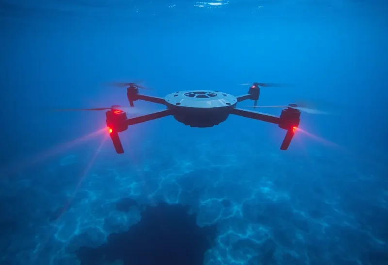
Here’s a fact that surprises most people the first time they hear it: we have more detailed, higher-resolution maps of the surface of Mars and the Moon than we do of most of Earth’s own ocean floor. As of the most recent Seabed 2030 project estimates, roughly a quarter of the global ocean floor has been mapped at modern resolution, and the rest remains either unmapped or covered only by old, low-resolution satellite-derived bathymetry data. I spent six years building autonomous underwater vehicles for oceanographic survey missions before shifting into writing about this field, and the quiet revolution closing that gap isn’t a single dramatic mission — it’s a steady, unglamorous fleet expansion of autonomous marine drones doing survey work that would have required enormous ship-time budgets a decade ago.
Why the Ocean Floor Stayed So Poorly Mapped for So Long
Traditional ocean floor mapping relies on multibeam sonar mounted on research vessels, and the fundamental constraint has always been ship-time economics: crewed research vessels cost tens of thousands of dollars per day to operate, cover ocean at a relatively slow pace while surveying, and represent a scarce, heavily competed-for resource shared across an entire scientific community’s research priorities. Satellite altimetry can estimate rough bathymetry globally by measuring subtle variations in sea surface height caused by the gravitational pull of undersea terrain, but that method produces resolution measured in kilometers, not the meters-scale detail needed for navigation safety, marine construction, habitat mapping, or serious geological research.
The math never worked out to map the whole ocean floor at high resolution using crewed vessels alone within any realistic budget or timeframe — estimates for fully mapping the remaining unsurveyed ocean using traditional ship-based methods alone ran into many decades and untenable costs, which is precisely the gap autonomous systems have started to close.
What Changed With Autonomous Platforms
Autonomous underwater vehicles (AUVs) and uncrewed surface vessels (USVs) attack the ship-time cost problem directly by removing the crew from the vessel entirely, which changes the economics dramatically. A USV like Saildrone’s ocean-mapping fleet — wind- and solar-powered surface vessels that carry sonar equipment and can operate autonomously for months at a time — costs a small fraction of crewed vessel day-rates to operate, and can survey continuously without needing to return to port for crew rotation, provisioning, or rest periods that limit how much continuous survey time a crewed ship can log.
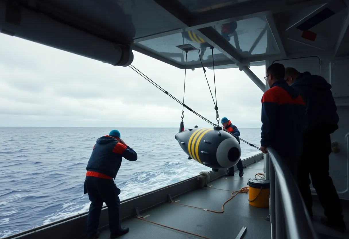
AUVs solve a complementary problem: they can dive to depths and operate in conditions — under ice, in extremely deep trenches, in areas with hazardous weather at the surface — that would be dangerous or impossible for a crewed vessel to work in directly. Companies and research institutions including Ocean Infinity, which operates one of the largest commercial AUV fleets in the world, and academic programs like Woods Hole Oceanographic Institution’s AUV lab, have built fleets specifically designed to operate with minimal human supervision across extended, multi-week missions, checking in periodically via satellite link rather than requiring constant real-time human piloting.
The Seabed 2030 Effort and Where the Data Actually Goes
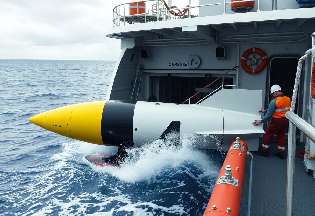
The most significant organizing effort behind this mapping push is Seabed 2030, a collaborative project between the Nippon Foundation and the General Bathymetric Chart of the Oceans (GEBCO), aiming to compile a complete, publicly available high-resolution map of the entire ocean floor by the end of the decade. The project doesn’t operate its own survey fleet — instead, it aggregates bathymetric data contributed by governments, research institutions, and increasingly commercial operators, including a growing volume of data collected by exactly the kind of autonomous platforms driving down survey costs.
Progress has been genuinely significant: mapped coverage has climbed from roughly 6% of the ocean floor at the project’s 2017 launch to around a quarter of the ocean as of recent reporting, a meaningful jump attributable in real part to autonomous survey capacity coming online at scale during that window, alongside crowdsourced bathymetric data from commercial vessels (shipping and fishing vessels increasingly contribute sonar data collected incidentally during normal operations, an approach the project has actively encouraged as a low-cost data source).
Who’s Actually Paying for This
The commercial incentives driving fleet expansion aren’t primarily scientific curiosity — they’re a mix of practical industries with direct economic need for better ocean floor data. Offshore wind development, one of the fastest-growing sectors demanding detailed seabed surveys, needs precise bathymetric and geological data to site turbine foundations safely and cost-effectively, and the rapid global expansion of offshore wind over the past several years has created substantial commercial demand for exactly the kind of survey capacity autonomous fleets provide at lower cost than traditional methods. Submarine cable route planning, telecommunications infrastructure, and offshore oil and gas (in regions where that industry remains active) all carry similar direct commercial need for detailed seabed data that predates and partly funds the broader scientific mapping push.
Naval and defense interests represent another significant, if less publicly detailed, driver — detailed seabed mapping has obvious strategic value for submarine navigation and anti-submarine warfare planning, and several national naval programs have invested directly in autonomous survey capability partly for reasons that overlap with, but aren’t identical to, the civilian scientific mapping mission. This mixed-motive funding landscape is actually one of the more underappreciated reasons the mapping effort has scaled as fast as it has — commercial and defense demand created a self-sustaining market for autonomous survey capability that pure scientific funding alone likely couldn’t have supported at this pace.
What Better Maps Actually Enable
The scientific and practical value of comprehensive seabed mapping extends well beyond satisfying curiosity about what’s down there. Tsunami modeling depends heavily on accurate seabed topography, since underwater terrain shapes exactly how a tsunami wave propagates and where it will amplify dangerously as it approaches shore — better bathymetric data measurably improves the accuracy of coastal hazard modeling used in early warning systems. Marine habitat mapping, critical for identifying and protecting biodiversity hotspots like deep-sea coral reefs and hydrothermal vent ecosystems, has been transformed by having actual detailed terrain data to correlate with biological survey findings, rather than relying on rough estimates of where interesting habitat might exist.
Climate research has a direct stake as well: ocean circulation models, which are central to understanding how heat and carbon move through the climate system, are meaningfully improved by accurate seabed topography, since underwater terrain shapes deep ocean current pathways in ways that coarse, low-resolution bathymetry can’t capture accurately. Undersea cable route planning — an industry already discussed elsewhere in terms of its vulnerability to damage — depends on detailed seabed surveys specifically to route cables around unstable terrain, seismic fault zones, and other hazards that could shorten a cable’s operational life or increase repair costs.
What’s Still Genuinely Hard
Even with autonomous platforms dramatically improving survey economics, closing the remaining three-quarters of unmapped ocean floor by Seabed 2030’s target remains a stretch goal that most people close to the project acknowledge is unlikely to be fully met on the original timeline, particularly for the deepest, most remote portions of ocean far from shipping lanes or commercial interest, where even autonomous survey missions face real logistical costs to reach and operate in. Data standardization and sharing also remain an ongoing friction point — commercial operators and some national governments have historically treated detailed bathymetric data as sensitive or proprietary for security or competitive reasons, and getting that data folded into a genuinely open, unified public dataset requires ongoing diplomatic and policy effort that’s separate from the actual engineering challenge of collecting the data in the first place.
Battery life and autonomous endurance remain real engineering constraints too — even the best current AUVs and USVs need to return to port or rendezvous with a support vessel periodically for charging, maintenance, and data offload, which still caps how much continuous, unsupervised survey time a single platform can log before needing intervention, even though that ceiling has risen substantially compared to a decade ago.
The Realistic Trajectory
The honest read is that the ocean floor will likely never be “fully” mapped in the same complete sense Mars orbital imagery has achieved, given the sheer difficulty and cost of reaching the deepest and most remote areas relative to the commercial and scientific payoff of doing so. But the trajectory over the past decade — from single-digit percentage coverage to a quarter of the ocean and climbing, driven overwhelmingly by autonomous platforms taking on survey work that ship-time economics made impractical before — represents a genuinely significant and continuing acceleration, and it’s happening almost entirely outside general public attention, funded by a coalition of climate science, offshore industry, and defense interests that rarely get credited together for quietly filling in one of the last major gaps in humanity’s map of its own planet.