What Makes a City Walkable—And Why So Few Actually Are

Tomasz Wojcik
July 7, 2026
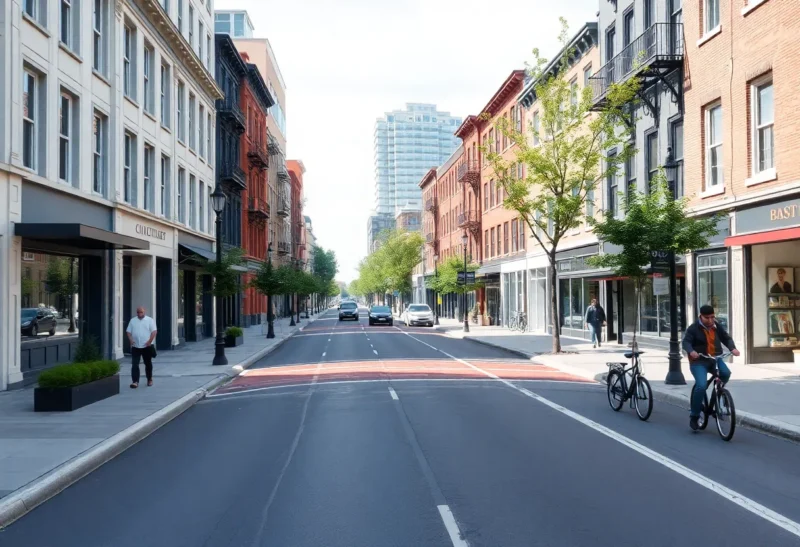
Walkability scores — the 0–100 ratings that Walk Score, Google Maps, and real estate listings attach to neighborhoods — have created a common shorthand for discussing urban environments, but they measure something narrower than what makes a place genuinely pleasant and functional to navigate on foot. A neighborhood can score 90 on Walk Score while remaining unpleasant to walk through: too many curb cuts that disrupt sidewalk continuity, no tree canopy to reduce summer heat, storefronts set back from the street behind parking lots, streets sized for fast car traffic rather than comfortable pedestrian movement. Walkability in the full sense is a richer condition than proximity to amenities, and most cities built after World War II fall short of it in ways that are structural rather than incidental.
The Components of Genuine Walkability
Urban designers and researchers have converged on several characteristics that, taken together, define a genuinely walkable environment.
Mixed land use — the interleaving of residential, commercial, office, and civic functions within a walkable area rather than their separation into single-use zones — is the foundational requirement. A neighborhood with 100% residential and no retail within walking distance isn’t walkable regardless of how pleasant the streets are; there’s nowhere to walk to. The post-WWII American planning model of zoning residential from commercial from industrial from civic created a geography of car dependency by design: each zone has only one function, requiring a vehicle to travel between them. The neighborhoods consistently rated most walkable worldwide — Manhattan, Amsterdam’s canal neighborhoods, Tokyo’s dense residential districts — are those where residential buildings sit above shops, transit stops are next to offices next to parks, and the daily requirements of life are reachable on foot.
Network connectivity — the density and regularity of street connections — determines how directly pedestrians can travel between origins and destinations. A street grid with blocks of 100–150 meters offers many choices of route; a cul-de-sac suburban network with few through connections forces pedestrians onto longer routes than the crow-fly distance suggests. “Connectivity” is measured by the ratio of street intersections to street ends — high ratios indicate permeable networks where direct routes are possible; low ratios indicate disconnected networks that favor the car (which can navigate the collector roads that connect pods of cul-de-sacs) over the pedestrian (who has to detour significantly to reach the same destination).
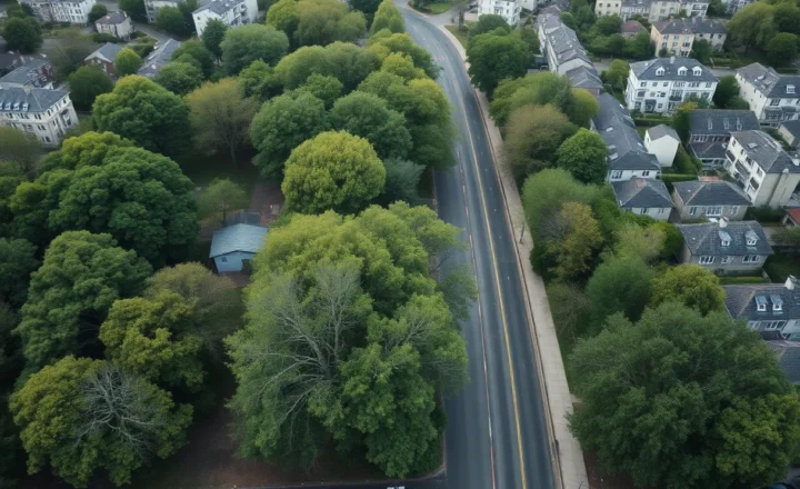
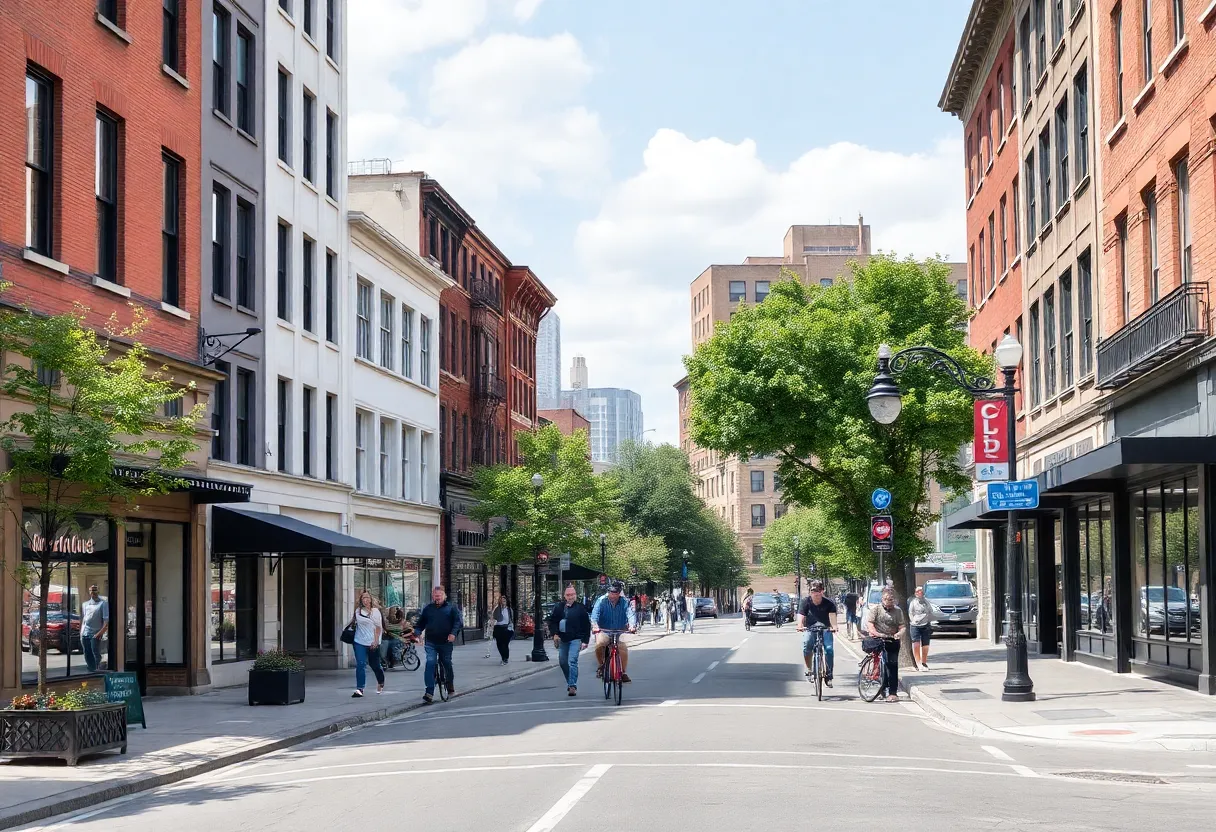
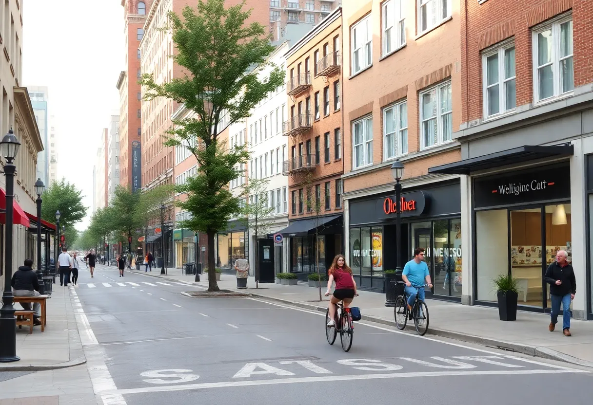
Street design for pedestrian comfort addresses the experience of walking at the scale of the human body: sidewalk width and continuity, presence of a buffer strip (trees or parked cars) separating pedestrians from moving traffic, crossing frequency and crossing time at intersections, speed of adjacent traffic (higher-speed traffic makes walking unpleasant even on a wide sidewalk), and presence of active frontages (shop windows, entries, visual interest) versus dead frontages (blank walls, parking garages, service areas). The “stroad” — a road/street hybrid common in American suburban areas, sized for fast arterial traffic but with commercial frontage and pedestrian crossings — is notable for being bad for both functions: too wide and fast for comfortable walking, too interrupted by driveways and signals for efficient traffic flow.
Why Most Modern Cities Fall Short
The factors that produced car-dependent urban environments were not random — they were deliberate policy choices made over decades, and their effects are deeply embedded in infrastructure that is expensive and slow to change.
Parking minimums — zoning requirements mandating that buildings provide a minimum number of parking spaces per dwelling unit or square foot of commercial space — have been among the most significant forces shaping post-WWII urban form. A requirement that every restaurant provide 10 parking spaces per 1,000 square feet of dining area forces commercial development to provide large parking lots, which pushes buildings away from the street, creates the dead frontages that kill pedestrian activity, and allocates land to vehicle storage that could otherwise be occupied by buildings bringing more people and activity to an area. Donald Shoup’s research documented how parking minimums exceeded actual parking demand in most cases, consuming land and distorting urban form without any corresponding benefit. Many cities are now eliminating or reducing parking minimums near transit, but decades of parking-minimum-shaped development don’t reverse quickly.
Building setbacks — requirements that buildings be set back from the property line by a minimum distance — create the front-yard and parking lot buffer between buildings and sidewalks that make commercial areas feel spread out and hard to navigate on foot. The “strip mall” form is a direct product of setback requirements combined with parking minimums. A building that must sit 30 feet back from the street with parking in front cannot create the continuous retail frontage that makes a street feel active and worth walking.
Street widths designed for high traffic capacity at high speeds are incompatible with comfortable pedestrian environments. A 12-foot travel lane at 45 mph creates a hostile pedestrian environment regardless of what’s on the sidewalk. Road diets — reducing lane counts on over-built streets that carry less traffic than their capacity — have been shown consistently to reduce pedestrian and cyclist injury rates and often have minimal impact on traffic throughput, but they face political resistance from motorists who perceive any reduction in lane count as a loss even when actual travel times don’t increase.
What Actually Changes Urban Walkability
Meaningful improvements in walkability happen through accumulated changes to zoning, street design standards, and development patterns over years and decades. Cities that have made sustained progress — Minneapolis (which eliminated single-family-only zoning citywide in 2019), Tokyo (which has uniquely permissive by-right zoning that allows mixed-use development almost anywhere), Portland (whose urban growth boundary concentrates development within the urban area rather than allowing sprawl), Amsterdam and Copenhagen (which have made decades of sustained investment in cycling infrastructure that enables car-free mobility) — share consistent approaches: allowing more mixed-use density by right, reducing or eliminating parking minimums, and designing streets for lower vehicle speeds and active transportation alongside vehicle movement.
Individual interventions like adding a protected bike lane or improving a crosswalk are valuable but don’t transform neighborhood walkability if the underlying land use pattern requires driving. The structure that makes a place unwalkable — single-use zoning spread over large areas connected by high-speed arterials — takes decades to change and requires policy changes, not just infrastructure improvements. This is why walkable urbanism is so concentrated in old city cores (built before the car-dependent planning era), dense immigrant neighborhoods (which developed at higher densities out of economic necessity), and deliberate new urbanist developments (which code walkable form requirements from inception): the default regulatory and development environment for most American cities produces car-dependent form unless specific action is taken to prevent it.