How Wildfire Detection Satellites Are Changing Early Warning Systems

Futurion Editorial
July 9, 2026

For most of modern firefighting history, the first official confirmation of a new wildfire has come from a person: a hiker calling it in, a lookout tower spotting smoke, a pilot on an unrelated flight noticing something wrong on the ground. Satellite coverage of wildfires has existed for decades, but it operated on a timescale that made it useful for tracking large, already-established fires and nearly useless for the thing that actually determines whether a fire stays small or becomes a disaster: how fast anyone finds out it started.
That’s changing quickly, and not because of one breakthrough technology but because of several purpose-built systems reaching operational maturity at roughly the same time — new geostationary weather satellites with dramatically better fire-detection sensitivity, dedicated small-satellite constellations built specifically to hunt for ignition-stage fires, and machine learning systems that can tell a real fire apart from a hot parking lot or an industrial flare far faster than a human analyst reviewing the same imagery.
Why Detection Speed Is the Whole Game
Fire behavior research is unambiguous on one point: wildfires that get identified and attacked while still small are dramatically cheaper and safer to contain than fires that are found after they’ve already grown, because fire spread accelerates with fuel consumed, wind exposure, and terrain — a fire discovered at a tenth of an acre and a fire discovered at ten acres are not the same problem scaled up, they’re often qualitatively different operations requiring completely different resources. The concept firefighting agencies use internally is often summarized as the “initial attack” window: the period during which a fire can plausibly be contained by the resources dispatched to the first report.
Every minute shaved off the detection-to-dispatch timeline extends that window. This is the entire logic behind satellite-based early detection: not replacing ground reports, but catching the fires that would otherwise burn unreported for hours in remote terrain, at night, or in conditions where visibility from the ground or air is limited.
What Changed on the Geostationary Side
The Geostationary Operational Environmental Satellites (GOES-16 through GOES-19), operated by NOAA, carry an instrument called the Advanced Baseline Imager that scans the same fixed patch of Earth roughly every five to fifteen minutes depending on scan mode, with infrared channels sensitive enough to detect the thermal signature of fires far smaller than what older generations of weather satellites could see. Because these satellites are geostationary — parked in a fixed position relative to Earth rather than orbiting — they provide continuous, repeated coverage of the same region instead of the occasional pass that polar-orbiting satellites offer.
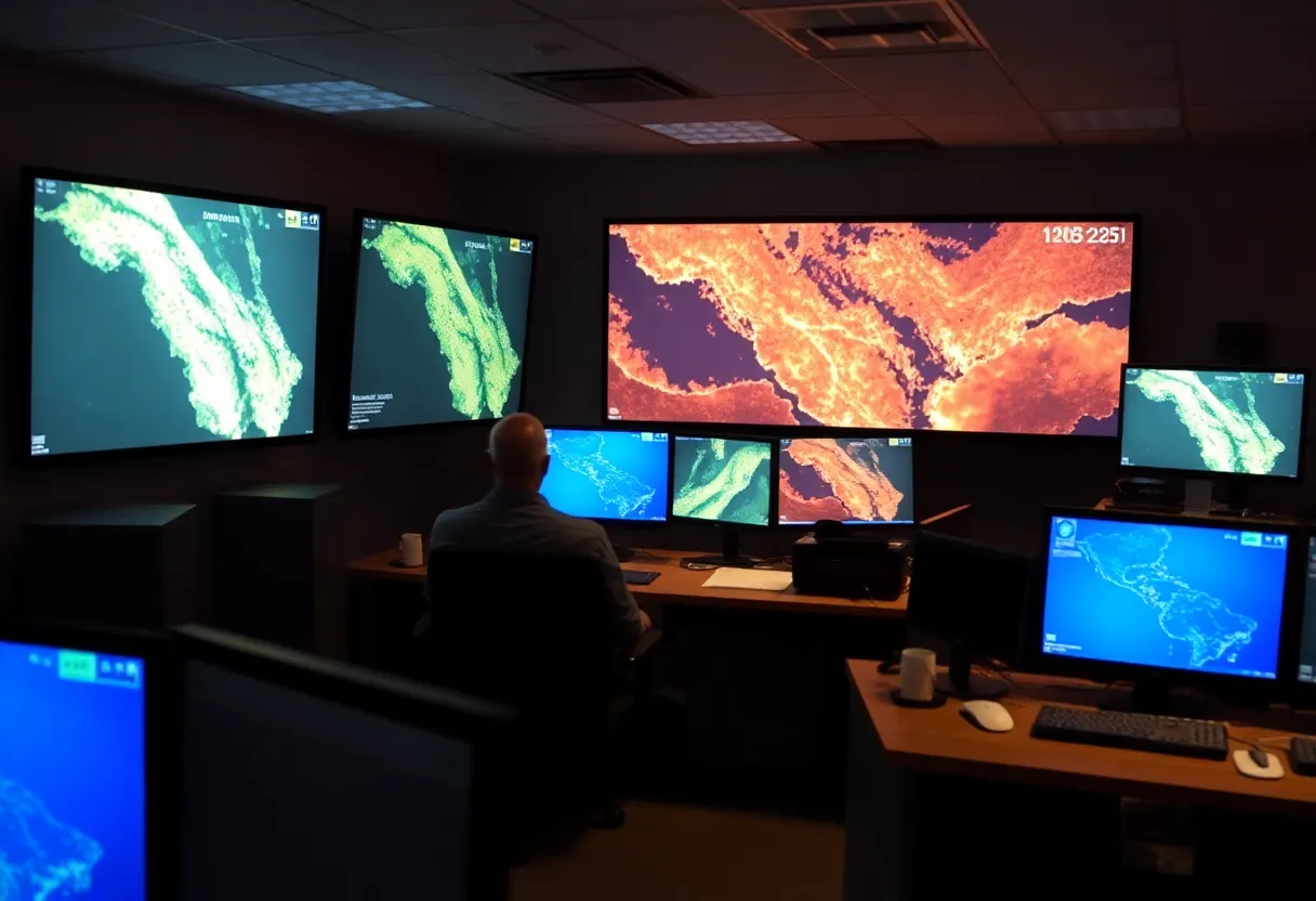
That combination — high-frequency revisit and sensitive thermal detection — is what enabled tools like FIRMS (NASA’s Fire Information for Resource Management System) and newer state-level systems like California’s ALERTCalifornia and the FireSat initiative to start flagging thermal anomalies within minutes of ignition rather than waiting for the next scheduled pass of an older polar-orbiting satellite, which might only revisit a given location once or twice a day.
The Small-Satellite Constellation Approach
Geostationary satellites solve the revisit-frequency problem but have a resolution limitation: they’re monitoring an entire hemisphere continuously, which means each pixel of thermal data covers a relatively large ground area, making it hard to distinguish a small emerging fire from other heat sources at a distance. A newer generation of purpose-built small-satellite constellations is attacking the same problem from the opposite direction — accepting a coarser revisit schedule in exchange for much finer resolution.
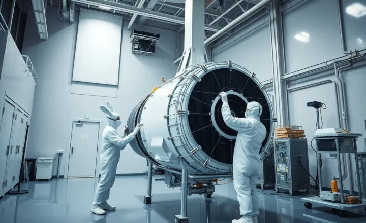
The most prominent example is the Earth Fire Alliance’s FireSat constellation, developed with Google and Muon Space, designed specifically to detect fires as small as roughly 5 by 5 meters — dramatically smaller than what geostationary weather satellites can reliably resolve — with a planned constellation large enough to revisit most fire-prone regions every 20 minutes once fully deployed. The design philosophy is explicitly to close the gap between “a fire exists somewhere in this region” (what geostationary coverage can offer quickly) and “here is the exact location and extent of a specific small fire” (what firefighters actually need to dispatch resources effectively).
The Machine Learning Layer Nobody Sees
Neither of these satellite systems would be useful at operational speed without automated classification, because raw thermal imagery is full of things that look like fires but aren’t — sun glint off water, industrial heat sources, agricultural burns that are permitted and expected, even hot rooftops or asphalt under specific lighting conditions. Early satellite fire detection systems relied heavily on human analysts to review flagged anomalies before alerts went out, which reintroduced exactly the kind of delay the satellites were supposed to eliminate.
Modern systems increasingly use machine learning models trained on historical fire and non-fire thermal signatures to do this filtering automatically, flagging high-confidence detections for immediate alert while routing ambiguous cases to human review rather than holding every detection for manual confirmation. California’s ALERTCalifornia network, built on a dense array of ground-based pan-tilt-zoom cameras combined with satellite data feeds, has used similar automated detection specifically to cut the time between smoke appearing and a 911-equivalent alert reaching dispatch, in some documented cases catching fires before any human 911 call came in at all.
Where This Still Falls Short
None of this makes wildfire detection solved. Cloud cover blocks both geostationary and small-satellite optical and thermal sensing, meaning fires that ignite during or after a lightning storm — one of the most common natural ignition sources — can be exactly the hardest cases to catch quickly, precisely because storm cloud cover obscures the satellites’ view during the highest-risk window. Smoke from an existing large fire can also obscure smaller new ignitions nearby, a real problem during active fire seasons when multiple fires burn simultaneously in the same region and resources are already stretched.
There’s also a dispatch-side bottleneck that better detection doesn’t automatically solve: an alert arriving faster only shortens the initial attack window if firefighting agencies have the staffing and equipment available to actually respond to it immediately, and detection technology has generally advanced faster than firefighting capacity funding in most fire-prone regions. A five-minute-old fire detection is still just a notification if the nearest available crew is an hour away.
What the Next Few Years Likely Look Like
The realistic trajectory isn’t a single satellite system solving wildfire detection outright, but a layered approach: geostationary weather satellites providing continuous broad-area monitoring, dedicated small-satellite constellations like FireSat filling in high-resolution detail once deployed at scale, ground-based camera networks covering the highest-risk local terrain where satellite resolution still falls short, and machine learning systems tying all three together to cut the time between ignition and a validated, actionable alert. Every piece of that stack shortens the same window — the initial attack period — that ultimately determines whether a fire stays a minor incident or becomes the kind of disaster that dominates a news cycle for weeks.