How Tectonic Plates Move and Why It Takes Millions of Years to Notice

Lars Bergman
July 7, 2026
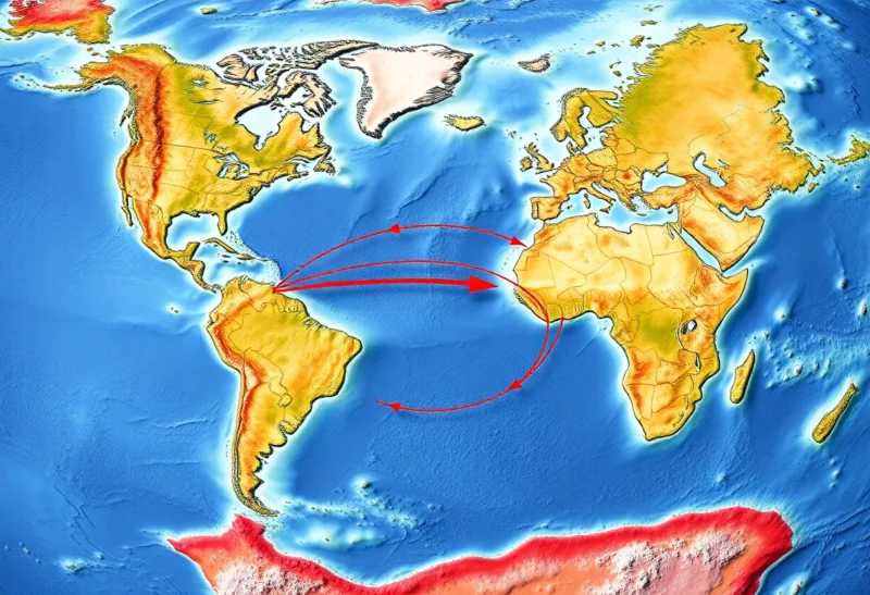
The ground beneath your feet is moving. Not in any way you can feel — the rate is roughly the speed at which your fingernails grow, somewhere between 2 and 15 centimeters per year depending on the plate and the location — but over geological time spans, those millimeters accumulate into thousands of kilometers. The continents as we know them today were joined into a single landmass (Pangaea) about 335 million years ago and have been drifting apart since. In another 250 million years, the current continents are projected to converge again into a new supercontinent. The mechanism that drives this planetary-scale reshaping — plate tectonics — is one of the most important conceptual frameworks in Earth science, and its details are considerably more interesting and more recently understood than most people realize.
The Structure of the Earth That Makes It Possible
Plate tectonics requires the specific layered structure of Earth’s interior to work. The planet’s outermost layer — the lithosphere — consists of the crust and the uppermost, rigid part of the mantle. The lithosphere is broken into about a dozen major plates and several smaller ones. Beneath the lithosphere is the asthenosphere, a region of the upper mantle where rock, while technically solid, is hot enough to deform plastically over geological time scales — behaving more like a very viscous fluid than a rigid solid. The lithospheric plates effectively “float” on this more fluid layer, and it’s the dynamics of the asthenosphere and deeper mantle that drive plate motion.
The driving force behind plate movement has been debated among geologists and geophysicists for decades, and the current consensus involves multiple forces working together rather than a single dominant mechanism:
Slab pull: Where oceanic crust subducts (dives beneath another plate at a convergent boundary), the older, cooler, denser oceanic rock is pulled downward into the mantle by gravity. This downward pull drags the rest of the attached plate along with it. Slab pull is considered the dominant driving force for many plates — particularly fast-moving oceanic plates like the Pacific plate. The rate of plate motion correlates with the length of subducting slab attached to the plate, supporting slab pull’s importance.
Ridge push: At mid-ocean ridges where plates diverge and new oceanic crust forms, the elevated ridge topography creates a gravitational potential that pushes the plate away from the ridge. This force is smaller than slab pull but contributes to motion away from spreading centers.
Mantle convection: Heat from Earth’s core drives convection currents in the mantle — hot material rises, spreads laterally, cools, and sinks. The traditional “conveyor belt” model where convection drags plates was for years the dominant explanation, but current research suggests convection is more complex and that slab pull dominates over drag for most plates. The relationship between mantle convection and plate motion is still an active area of research.
Types of Plate Boundaries and What They Create
The geological features on Earth’s surface — mountains, ocean trenches, volcanic chains, fault systems — are largely expressions of interactions at plate boundaries. The three types of boundary produce dramatically different features:
Divergent boundaries are where plates move apart. Under oceans, this creates mid-ocean ridges — continuous submarine mountain chains where magma wells up from the asthenosphere to create new oceanic crust. The Mid-Atlantic Ridge is the most prominent example, and Iceland sits directly on it (which is why Iceland has active volcanoes and the landscape of a place where new crust is being made — because it is). The Atlantic Ocean is widening by approximately 2.5 cm per year as North America and Eurasia diverge. On continents, divergent boundaries create rift valleys — the East African Rift is an active continental rift where Africa is very slowly beginning to split into two plates, a process that would take tens of millions of years to complete.
Convergent boundaries are where plates collide. The outcome depends on whether the colliding plates are oceanic or continental:
- Oceanic-continental collision: The denser oceanic plate subducts beneath the less dense continental plate, creating deep ocean trenches (the deepest is the Mariana Trench at ~11km, formed by Pacific plate subduction beneath the Mariana plate) and volcanic mountain chains parallel to the trench (the Andes, the Cascades). Water carried down with the subducting plate lowers the melting point of mantle rock, generating magma that rises to fuel the volcanic chains.
- Oceanic-oceanic collision: One oceanic plate subducts beneath the other, creating trenches and chains of volcanic islands (island arcs) — Japan, the Philippines, and the Aleutians are island arcs formed this way.
- Continental-continental collision: Neither plate is dense enough to subduct significantly, so the collision crumples and thickens the crust, building mountain ranges. The Himalayas formed and are still forming from the collision of the Indian plate with the Eurasian plate that began about 50 million years ago. The Indian plate is still moving northward at approximately 5 cm per year, and the Himalayas are still rising (while erosion keeps them from growing indefinitely).
Transform boundaries are where plates slide past each other horizontally without significant convergence or divergence. The San Andreas Fault is the most famous example — the Pacific plate slides northwest relative to the North American plate at about 5 cm per year. Transform boundaries don’t build mountains or trenches but generate significant earthquakes as the plates lock and then release suddenly rather than sliding smoothly.
How We Know What We Know — And When We Figured It Out
The theory of plate tectonics is surprisingly recent. Alfred Wegener proposed continental drift in 1912 based on the obvious fit of the continental coastlines (particularly South America and Africa), the matching rock formations and fossils across continents, and the climatic anomalies of ancient coal deposits in Antarctica. He was largely ridiculed because he couldn’t identify a plausible mechanism for how continents moved through oceanic crust. The mechanism — seafloor spreading, subduction, and the role of the asthenosphere — was pieced together in the 1950s and 1960s from oceanographic surveys, paleomagnetic data (evidence of magnetic reversals recorded in seafloor rock that showed symmetric striping around mid-ocean ridges), and seismic studies. The current synthesis of plate tectonic theory emerged only in the late 1960s — within living memory for people born in the mid-20th century.
The confirmation came from multiple independent lines of evidence converging: GPS measurements now directly measure plate velocities (confirming the rates predicted from geological evidence), earthquake seismology maps the subducting slabs, ocean drilling programs have dated seafloor rock and confirmed the age gradient away from spreading centers, and satellite gravity measurements reveal the topography of the seafloor in detail.
The Deep Time Perspective
The timescale of plate tectonics is difficult to intuitively grasp. At 3 cm per year, a feature moves 3 km in 100,000 years — geological time that spans vast human history. In 10 million years, it moves 300 km. The Atlantic Ocean opened from nothing to its current width of roughly 4,000 km in approximately 180 million years. The Appalachian Mountains were once higher than the Himalayas — they’ve been eroding for roughly 300 million years since the Appalachian orogeny when the continents that formed them collided. The Rocky Mountains formed about 80 million years ago. The Alps are younger — about 35 million years old.
Looking forward: the Atlantic will continue to widen until eventually the subduction zone at the eastern margin of the Americas may begin to consume the Atlantic seafloor, potentially closing the ocean — a process that takes hundreds of millions of years. Africa is very slowly splitting along the East African Rift. The Himalayas will continue to rise as long as India continues its northward movement. These are confident predictions based on the current direction and speed of plate motion — the uncertainty increases with the timescale because feedback mechanisms, mantle dynamics, and geological events can alter trajectories over tens of millions of years in ways that are harder to predict.
Plate tectonics is also implicated in climate regulation over geological time: the arrangement of continents affects ocean circulation and therefore heat distribution; the weathering of silicate rocks (accelerated when mountains erode) removes CO₂ from the atmosphere; volcanic outgassing at ridges and subduction zones adds CO₂. The long-term carbon cycle — a thermostat for Earth’s climate over millions of years — is tied to tectonic activity in ways that connect the deep geological processes to the conditions that make Earth habitable.