How GPS Works—And Why It’s Less Reliable Than People Think

Meera Iyer
July 7, 2026
Your phone’s navigation works so reliably in everyday conditions that it’s easy to develop an oversimplified mental model of GPS as a system that knows where you are. The reality is more complicated and more interesting. GPS is a system that makes probabilistic estimates of your position based on the measured arrival times of signals from satellites, and those estimates have error bounds that are significant in some contexts and invisible in others. Understanding how it works explains both why it’s remarkably functional as everyday infrastructure and why it fails in the predictable ways it does.
The Core Mechanism: Trilateration from Satellite Signals
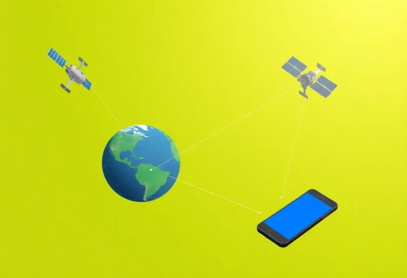
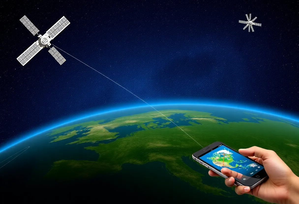
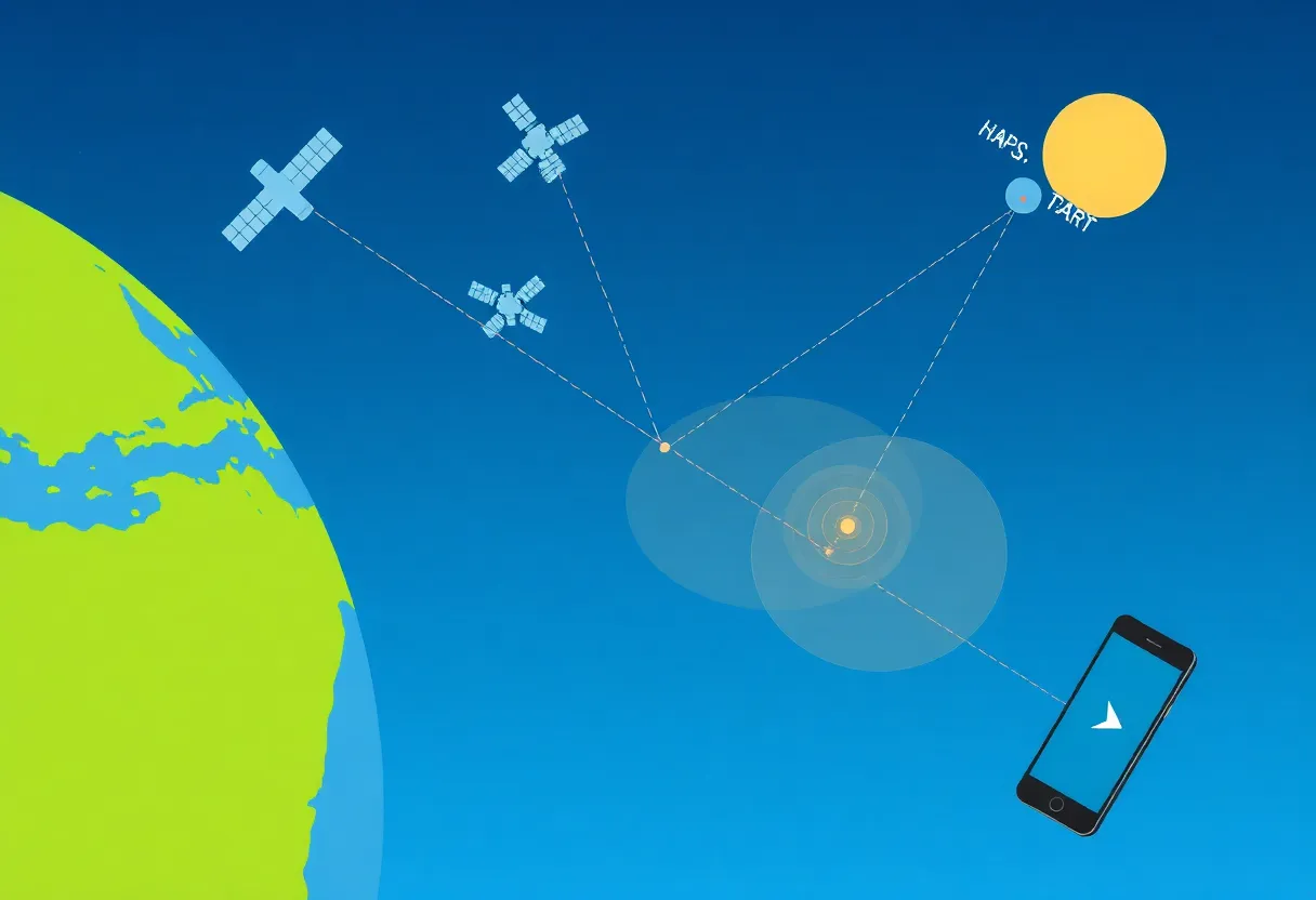
The Global Positioning System is a constellation of satellites in medium Earth orbit (approximately 20,200 km altitude) that continuously broadcast precise timing signals. Your GPS receiver — in your phone, your car nav, your fitness tracker — receives signals from multiple satellites simultaneously and measures the travel time from each satellite to the receiver. Since radio signals travel at the speed of light (approximately 299,792 km/second), the travel time translates directly to the distance from each satellite: a signal that took 67ms to arrive came from approximately 20,100 km away.
With distance measurements from three satellites, the receiver can narrow your position to one of two points on Earth’s surface (the geometry of intersecting spheres). A fourth satellite measurement resolves the ambiguity and also solves a critical problem: clock error. The GPS receiver’s internal clock is not as precise as the atomic clocks on the satellites — it would need to be accurate to nanoseconds to measure signal arrival times precisely enough from three satellites. The fourth satellite measurement lets the receiver calculate and correct for its own clock offset, making cheap receiver clocks (accurate to milliseconds) work for GPS.
The Civil GPS signal (L1 C/A, the frequency your phone uses) carries a code that your receiver compares against its own internally generated copy to measure the timing offset. The satellite’s position at the time of transmission is known from broadcast orbital data (ephemeris data), and combining the position, timing, and distance calculation produces a position estimate. With good satellite geometry and clear sky visibility, a civilian GPS receiver achieves typical horizontal position accuracy of 3–5 meters under ideal conditions.
Why GPS Is Less Reliable Than It Appears
Several factors degrade GPS accuracy below the 3–5 meter ideal, and some environments eliminate useful GPS entirely.
The ionosphere introduces timing errors. GPS signals pass through the ionosphere — a layer of ionized particles in the upper atmosphere that slows radio signals by an amount that varies with solar activity, time of day, and geographic latitude. GPS receivers use ionospheric models to estimate and correct this error, but the correction is imperfect, and ionospheric delay is one of the largest error sources in single-frequency civilian GPS receivers. Dual-frequency receivers (capable of measuring both L1 and L2 signals) can calculate the ionospheric delay directly from the difference in arrival time between two frequencies and correct for it — a significant accuracy improvement that the latest iPhone and high-end Android devices have gained access to with L5 frequency support.
Multipath error occurs when GPS signals reflect off buildings, terrain, or other surfaces before reaching the receiver. The reflected signals travel a longer path than the direct signal and arrive with a time delay that the receiver may interpret as distance error. In urban canyons — streets surrounded by tall buildings — GPS receivers may receive more reflected signals than direct signals, causing position errors of 10–50 meters or more. This is why navigation apps in dense cities sometimes place you on the wrong street or jump between lane positions: the multipath environment makes precise position fixes impossible. Apple’s iPhone 14 and later use dual-frequency GPS with a “road correction” feature specifically to mitigate urban canyon multipath effects.
Satellite geometry determines how well position measurements from multiple satellites can be combined. When available satellites are clustered in one part of the sky rather than spread around, the geometric dilution of precision (GDOP) is poor — small timing errors in any satellite measurement produce large position errors. Checking satellite visibility in a dedicated GPS app reveals that at any given time and location, the geometry varies, and poor geometry can double or triple position error even with clear sky visibility.
How Phones Augment GPS With Other Systems
What feels like “GPS” in your phone is actually a hybrid positioning system that combines GNSS (Global Navigation Satellite Systems — including US GPS, European Galileo, Russian GLONASS, and Chinese BeiDou) with Wi-Fi positioning, cellular network positioning, and motion sensor fusion. This multi-source approach is why phones can show a position fix within seconds of opening a navigation app, rather than waiting the 30–90 seconds a cold GPS receiver needs to acquire satellites. It’s also why phones maintain a position estimate in environments where GPS alone fails.
Wi-Fi positioning works because Apple, Google, and others have built databases mapping Wi-Fi network SSIDs and BSSIDs to their physical locations through wardriving surveys and crowdsourced data collection. When your phone detects known Wi-Fi networks, it can estimate position from the database even without connecting to them. In urban areas with dense Wi-Fi coverage, this can achieve 10–30 meter accuracy independently of GPS — supplementing or replacing GPS where satellite signals are blocked.
The practical consequence is that “GPS accuracy” for phones in everyday use is the accuracy of the hybrid system, not raw satellite positioning, and the hybrid system is highly environment-dependent. Indoor positioning, where GPS is completely unavailable, relies entirely on Wi-Fi and motion sensor dead reckoning. Dense urban positioning where GPS has heavy multipath relies heavily on Wi-Fi augmentation. Open sky suburban driving uses predominantly satellite positioning. The position accuracy you experience varies significantly by environment in ways that aren’t visible unless something goes noticeably wrong.
Where GPS Reliably Fails
The contexts where GPS-based positioning fails predictably: indoors (buildings attenuate satellite signals entirely; any indoor navigation relies on Wi-Fi or Bluetooth beacons); underground (tunnels, parking garages, subway systems; navigation apps typically predict your path through the tunnel and resume on exit); dense urban canyons with tall buildings on both sides; under heavy forest canopy (significant signal attenuation); and during geomagnetic storms caused by solar activity, which can disrupt the ionospheric corrections that accurate GPS depends on.
GPS jamming and spoofing are increasingly documented concerns in contested geographies. Intentional GPS jamming — broadcasting radio noise on GPS frequencies to prevent receivers from acquiring signals — is a known military and criminal tactic. GPS spoofing — broadcasting false satellite signals to mislead receivers into calculating incorrect positions — has been documented around certain airports, naval vessels in the Black Sea, and near government facilities in some countries. For ordinary navigation, these are not everyday concerns. For aviation, maritime navigation, and precision agriculture, they represent legitimate infrastructure vulnerabilities that are taken seriously at a policy level.