Satellite Messengers for Backcountry: Coverage Maps vs Trail Reality

Emily Frost
April 8, 2026

Satellite messengers promise a comforting idea: even without cell towers, you can check in with home or press an SOS button that actually summons help. Marketing maps show generous footprints across continents. Trail reality is messier—canyons block low-angle satellites, dense canopy attenuates signals, and your body position relative to the sky matters more than brochures admit. Choosing a device is not just picking the prettiest coverage graphic; it is matching network architecture, subscription rules, and the kind of trips you run.
This article compares how satellite messengers behave where cell phones die, what marketing maps gloss over, and how to set expectations before you rely on a pocket-sized lifeline.
Nothing here replaces professional guide training, avalanche education, or medical certification where those apply. Electronics fail; batteries die; user error happens. Treat satellite gear as one layer in a stack that still includes judgment, preparation, and the willingness to change plans.
How these gadgets actually talk to space
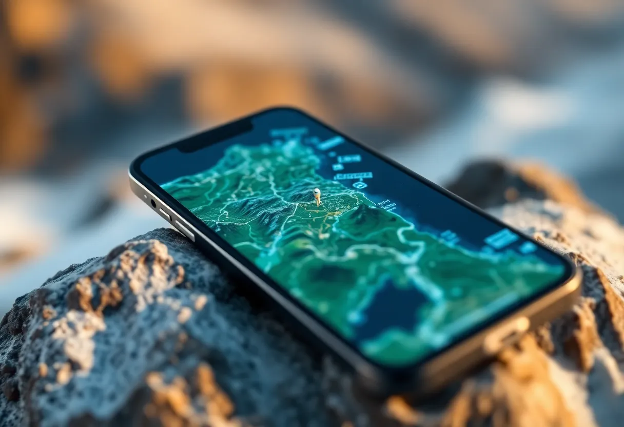
Consumer satellite messengers use constellations in low Earth orbit or specialized payloads on larger satellites. They are not Starlink dishes; they have tiny antennas and tight power budgets. That means they need a view of the sky—preferably a wide cone—not a sliver between cliffs. When vendors publish coverage maps, they often show where satellites can theoretically see the ground, not where your wrist-height device will lock while you are leaning against a north-facing wall.
Message throughput is also modest. These are not broadband links; they are short bursts—sometimes with minute-scale latency as satellites pass. That is fine for “running late” or SOS, but poor for chatting like SMS in the city.
Coverage maps vs local geometry
A trail through a narrow slot canyon can be a satellite dead zone even when the regional map is solid green. Heavy tree cover, especially wet leaves, scatters signals. Northern exposures and deep basins create shadows until a satellite rises high enough. Experienced users learn to send messages at openings: ridge tops, lake shores, or clearings—not mid-switchback in thick timber.

Test your device on a local hill before a remote trip. If acquisition takes minutes on a cloudy day in your backyard, expect worse when you are cold, tired, and in a hurry.
SOS vs texting: two different promises
Emergency SOS features route distress signals through response centers with protocols for coordinating rescues. Two-way texting to friends is a separate product tier—often subscription-gated—and may not be available in all regions or on all plans. Read the fine print: some devices allow SOS even with lapsed subscriptions; others do not. Confusing the two can leave you with a false sense of redundancy.
Phones with built-in satellite SOS
Recent smartphones add satellite emergency features in select countries. They can be brilliant backups when you forgot a dedicated device—if your model supports the region you are visiting and you understand limitations (message templates, possible setup steps before you leave coverage). They are not a wholesale replacement for purpose-built messengers on multi-day expeditions where battery and antenna efficiency dominate.
Subscriptions, activation, and the fine-print tax
Annual plans, activation fees, and per-message overages vary widely. Some ecosystems bundle weather forecasts or topo maps; others charge à la carte. Budget not only money but time—does the device need a smartphone app to configure? Will airplane mode quirks block GPS logging? Factor spare batteries or solar if your itinerary stretches past rated endurance.
Rescue ethics and false alarms
SOS is for life, limb, or genuinely immobilizing situations—not because you are uncomfortable. Rescue resources are finite; hoaxes and frivolous triggers endanger responders and other hikers. Carry navigation skills, insulation, and calories so “minor inconvenience” does not become “emergency” through poor planning.
Weather windows and communication timing
Storms complicate everything: metal trekking poles in your hands, static buildup, and the simple fact that you should not stand on an exposed ridge fumbling with electronics when lightning is nearby. Build communication into safer moments—before the front arrives, from a treeline below the thunderheads, or after the cell passes. A message delayed thirty minutes is better than a message never sent because you prioritized radio over survival instincts.
Sharing location with people who are not on the trip
Many services let contacts follow a breadcrumb trail. Decide privacy boundaries before you share links publicly on social media—predictable patterns can be a safety risk for solo hikers. Trusted contacts should know your itinerary, turnaround time, and what to do if pings stop: wait versus escalate. A satellite messenger is not a substitute for telling someone your planned route on paper.
Urban escape corridors: where maps lie politely
Even “perfect” coverage near cities can fail in concrete canyons or parking garages—satellite phones historically struggled here too. If your weekend trip starts with an urban approach, do not assume a lock until you are actually under open sky at the trailhead. Send a departure message before you lose LTE if your messenger needs app setup.
Maintenance, firmware, and the forgotten subscription
Devices accumulate dust in drawers between seasons. Batteries swell; firmware drifts; payment methods expire. A spring ritual—charge, update, send a test ping—prevents discovering dead subscriptions at the wilderness boundary. Label your account renewal date beside your first-aid kit; the two belong in the same mental checklist.
Training your group
If you travel with partners, agree on how messaging works—who carries the device, how often to check in, and what phrases mean (“delayed but OK” vs “need extraction”). Practice sending a test message from a realistic spot on trail, not from the trailhead parking lot where the sky is wide open.
Device families: dedicated messengers vs phone-tethered hubs
Some units operate standalone with their own keypads; others lean on a Bluetooth phone app for typing long messages. Standalone hardware shines when phones die; phone-tethered flows can be faster for detailed updates if batteries last. Neither is universally better—match the workflow to your climate (gloved hands?) and your tolerance for app friction.
Weight weenies compare grams, but antenna orientation matters more than a few ounces. A device you will actually pause to aim at the sky beats an ultralight gadget buried at the bottom of a pack.
Cold, altitude, and battery math
Lithium cells lose capacity in freezing nights; keep the messenger close to your body and spare batteries warm. High alpine trips add wind exposure that makes stops unpleasant—precisely when you should send a check-in. Build buffer: if specs claim X hours of tracking, assume half in real cold with frequent pings.
International travel and regulatory reality
Satellite radios cross borders under rules that change by country. Some nations restrict import or use of certain frequencies; others require registration. Airlines have policies for lithium batteries and transmitting devices in checked baggage—usually carry-on for the messenger itself. Do your paperwork before you discover customs holds or cabin crew questions at departure.
Pairing with offline maps and compass skills
Satellite connectivity does not fix bad navigation. Download offline topo basemaps, learn to read contour lines, and carry a compass even if your phone has GPS. A messenger tells people where you are—or that you need help—but it does not choose your route through a whiteout.
Group dynamics: one beacon or many?
Fast-moving groups sometimes split for water or alternate routes. Decide whether each party carries redundancy or whether a single communicator stays with the lead navigator. Leadership clarity prevents the classic failure mode: everyone assumes someone else packed the SOS device. For youth trips or mixed-experience teams, verbal gear checks beat assumptions.
Water, boats, and corrosion realities
River crossings, sea kayaking, and humid jungles test IP ratings over time. Rinse salt after coastal trips; inspect gasket seals annually; replace worn o-rings before they fog internally. A “waterproof” label is not permission to treat electronics carelessly—especially when rescue depends on them.
When to leave the tech home
Ultralight purists and minimalists sometimes skip satellite gear on short, well-traveled routes with frequent traffic. That can be rational if skills, weather, and party redundancy align—but be honest about what you are trading away. The lightest pack is the one that still gets you home; pride is heavier than a hundred grams of antenna.
Insurance, PLBs, and the minimalist alternative
Personal locator beacons (PLBs) broadcast distress on dedicated frequencies without subscription fees—but typically without casual texting. Some hikers carry a PLB for SOS-only simplicity and a messenger when two-way updates matter for family logistics. Duplication costs money and grams; duplication also hedges single-point failure if one battery dies.
Bottom line
Satellite messengers are powerful when you respect their physics and read their contracts. Coverage maps are a starting point; terrain, canopy, and sky view write the final story. Pair electronics with map literacy, weather awareness, and the humility to turn around when conditions outrun your gear.
If you remember one thing from the marketing versus reality gap, make it this: step into a clearing, give the antenna a clear view, and send your check-in before the story gets interesting—because the most expensive device is the one that works only after you needed it.