How GPS Actually Works: Satellites, Clocks, and Your Phone

David Shaw
March 15, 2026

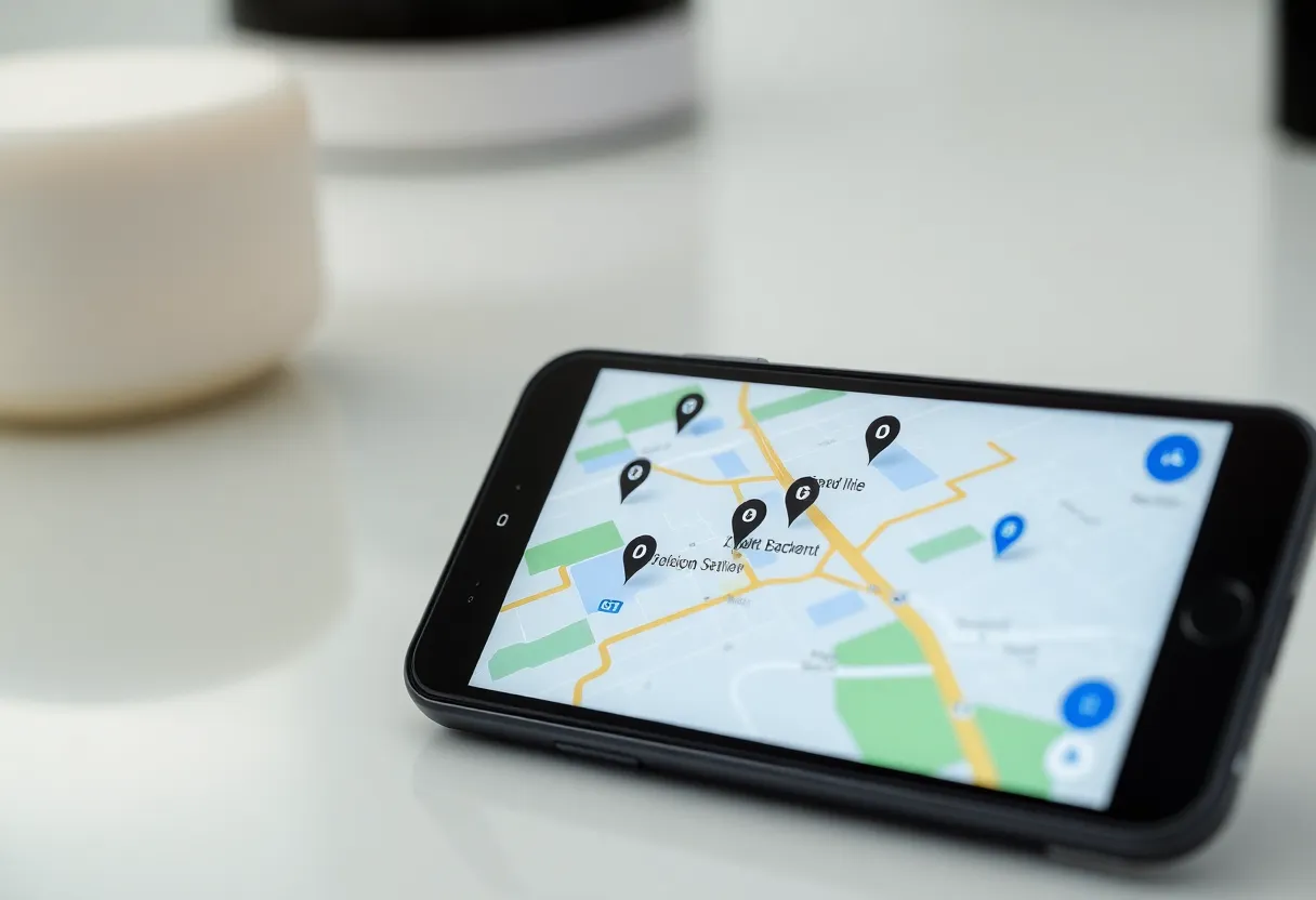
You open Maps, tap “Navigate,” and a blue dot moves across the screen. Behind that simple experience is a system that depends on precise timing, dozens of satellites, and a bit of geometry that most of us never think about. Here’s how GPS actually works—and why your phone can tell where you are to within a few metres.
It’s Really a Timing Problem
GPS doesn’t measure distance directly. It measures time. Each satellite in the Global Positioning System broadcasts a signal that includes the exact time the signal left the satellite (from an onboard atomic clock). Your phone (or any GPS receiver) has a clock too, though not as accurate. When the signal arrives, the receiver compares its own time to the time encoded in the signal. The difference tells you how long the signal took to travel. Multiply that time by the speed of light, and you get the distance from you to that satellite.
One satellite gives you a sphere of possible positions: you’re somewhere on a sphere at that distance from the satellite. Two satellites narrow it down to a circle where those two spheres intersect. Three satellites usually narrow it down to two points (one often in space, so we ignore it). Four or more satellites give you a single position in 3D—latitude, longitude, and altitude—and also help correct for the fact that your phone’s clock isn’t as good as the satellites’ atomic clocks. So the “magic number” is four: you need at least four satellites in view to get a solid fix. Your phone typically uses more when available, which improves accuracy.
The Constellation Overhead
The GPS constellation is run by the U.S. Space Force (formerly the Air Force). There are usually around 31 satellites in operation, spread across six orbital planes so that from almost anywhere on Earth, you can “see” at least four at once. They orbit at about 20,200 kilometres altitude and complete an orbit roughly every 12 hours. The satellites don’t store maps or your location; they just broadcast the time and their own position (their “ephemeris” data). Your receiver does all the geometry.
Other countries run similar systems: Russia’s GLONASS, the EU’s Galileo, China’s BeiDou. Many phones use several of these at once (often called “multi-GNSS”). More satellites in view mean better accuracy and faster time-to-first-fix, especially in cities where buildings block some of the sky. So when your phone says it’s using “GPS + GLONASS” or “GPS + Galileo,” it’s solving the same kind of timing problem with more signals. The underlying idea is the same: broadcast time from known positions, measure travel time, solve for where you are.
Why Clocks Matter So Much
Because the position is derived from time, tiny clock errors become position errors. Light travels about 300,000 kilometres per second, so a timing error of one microsecond (one millionth of a second) means a distance error of about 300 metres. The satellites use atomic clocks (rubidium or caesium) that are extremely stable. Your phone’s clock is much cheaper and drifts. That’s why you need the fourth satellite: the receiver can solve not only for your position but also for the error in its own clock. So in practice, the fourth measurement fixes your clock bias and gives you a proper 3D fix.
Relativity also plays a role. The satellites are moving fast and are in a weaker gravitational field than we are on the surface. According to relativity, their clocks run slightly differently from clocks on the ground. GPS software has to correct for both special and general relativistic effects; without those corrections, the system would drift by kilometres per day. So the “simple” idea—measure time, get distance, triangulate—rests on a lot of careful physics and engineering.
What Your Phone Adds
Standalone GPS can get you to within about 5–10 metres under good conditions. Your phone usually does better because it combines GPS with other data. It uses cell towers and Wi-Fi access points to get a rough position quickly (assisted GPS, or A-GPS) and to refine the fix. It may use the accelerometer and gyroscope to smooth motion between position updates. In cities, it can use building and road maps to snap you to the right place. So the blue dot isn’t “pure” GPS; it’s a fusion of satellite signals, network data, and sensors. That’s why it can keep working indoors for a while and why it sometimes jumps when the fusion logic gets confused.
Where GPS Struggles
GPS signals are weak. They’re coming from 20,000 kilometres away, and they’re easily blocked or reflected by buildings, trees, and even your body. In a dense city or indoors, you might see only one or two satellites, or none at all. That’s when your phone falls back to cell towers and Wi-Fi: those give a coarse location (often hundreds of metres) but enough to show you on the right street. Multipath is another issue: the signal can bounce off buildings and arrive a fraction of a second late, which the receiver interprets as a slightly wrong distance. High-end receivers use antenna design and filtering to reduce multipath; phones do their best with software and sensor fusion.
A Short Note on History
GPS grew out of military projects in the 1960s and 1970s. The first satellite in the current constellation launched in 1978; full operational capability came in 1995. For years it was primarily a military and surveying tool. Selective Availability—intentional degradation of the civilian signal—was turned off in 2000, which improved consumer accuracy from about 100 metres to roughly 10. Today the system is free to use; your phone doesn’t pay a fee to “use GPS.” The cost is borne by the U.S. government, which maintains the constellation for both military and civil use. Other countries built their own systems in part to avoid dependence on a single provider and to improve coverage and accuracy in their regions.
The Takeaway
GPS is a global timing network that your device turns into position. Satellites broadcast the time; your receiver measures how long the signal took; geometry gives you distance; four or more distances give you a unique position. Better clocks and more satellites (including from other systems like Galileo) improve accuracy. Your phone then layers on assistance and sensors to make the result faster and smoother. So the next time you tap “Navigate,” you’re not just receiving a signal—you’re solving a timing and geometry problem that was once the domain of the military and surveyors, now packed into a chip in your pocket.